Residential Existing Conditions
LiDAR scan capturing existing conditions.
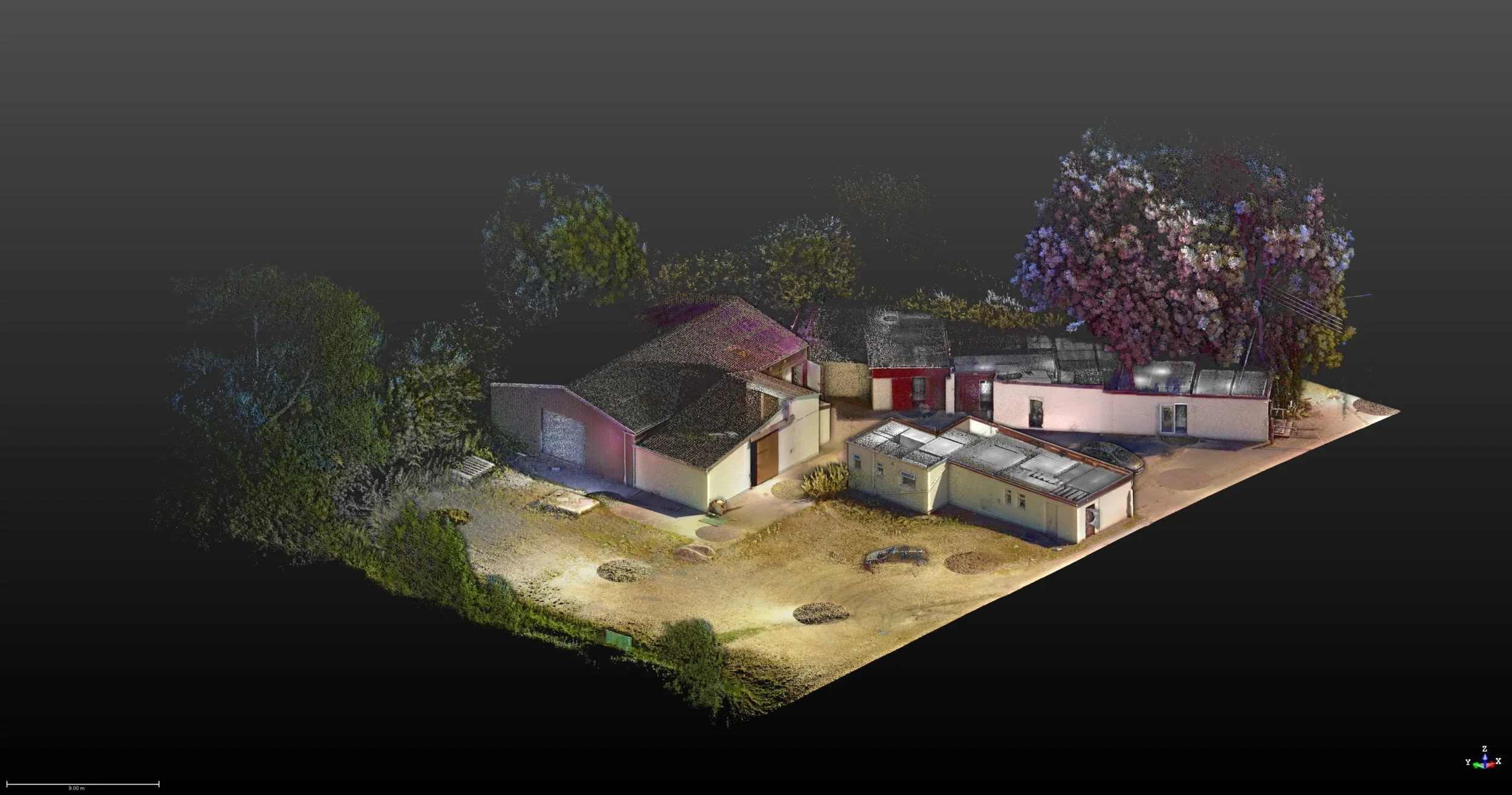
LiDAR Scanning
ScanForce captures residential properties and their surroundings with advanced LiDAR technology and 360 degree photography. These high-precision scans generate detailed 3D models, empowering architects and designers to make smarter, faster decisions. Compared to manual measurements, LiDAR significantly reduces errors, speeds up workflows, and lowers costs, providing fast, dependable documentation. For capturing a building and its context with accuracy and reliability, nothing beats LiDAR.
Photo Documentation
ScanForce captures comprehensive imagery of buildings and sites using high-resolution 360 degree photography, producing immersive virtual tours accessible from anywhere. These detailed panoramas cover both interior and exterior spaces, allowing architects, owners, and property managers to explore every angle with striking realism. Measurements can be taken directly from the imagery, eliminating the need for a physical site visit. The result is immediate, actionable insight that enhances planning, coordination, and decision-making.
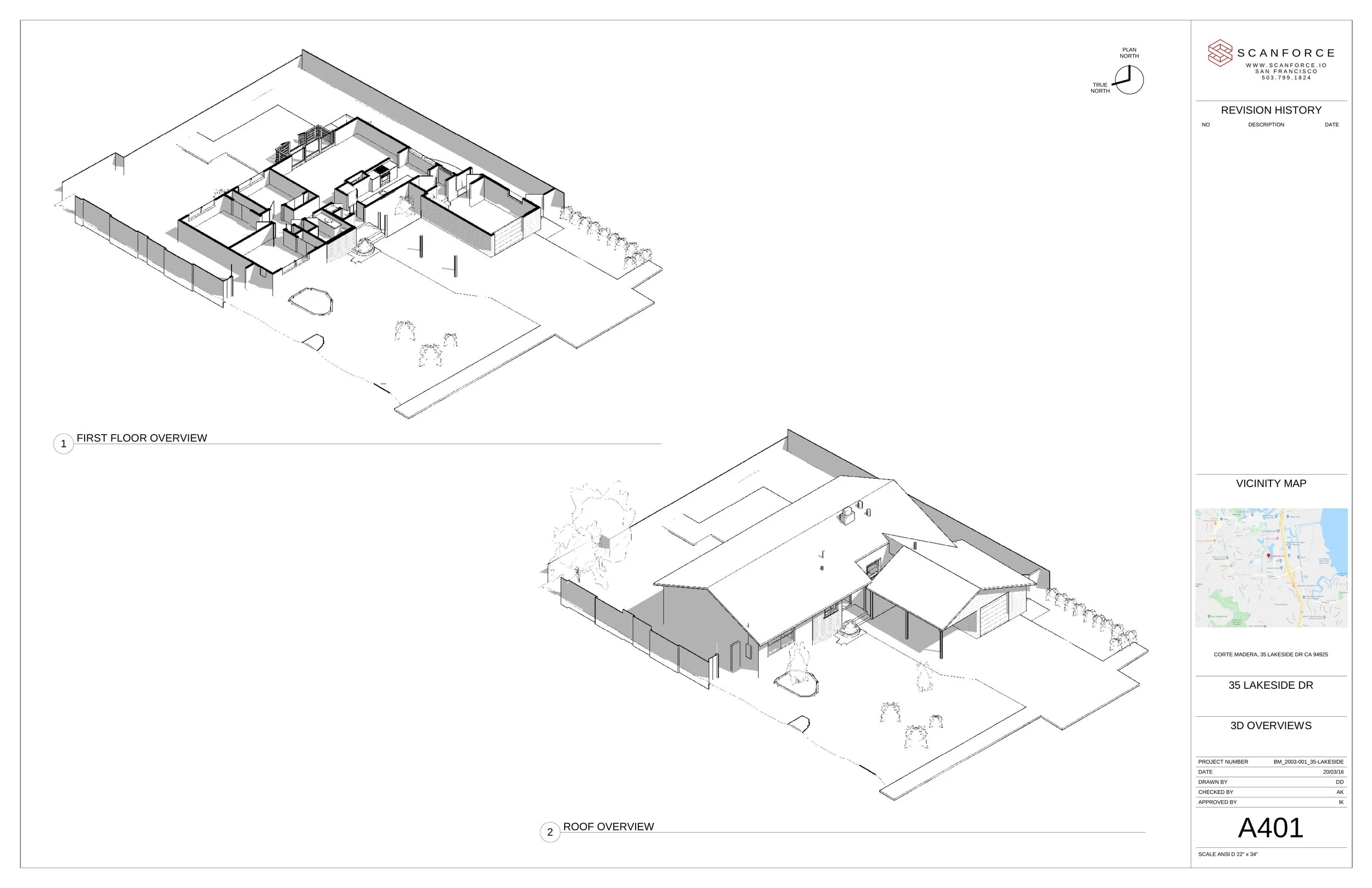
Existing Conditions Plans & Model Generation
ScanForce provides precise documentation of a building's current state, establishing a solid foundation for design, construction, and renovation. Our plans enhance accuracy, support better decisions, and ensure future work aligns seamlessly with what already exists. Included deliverables: Revit model, floor plan, roof plan, sections, elevations, reflected ceiling plans, lighting layouts, and site plan.
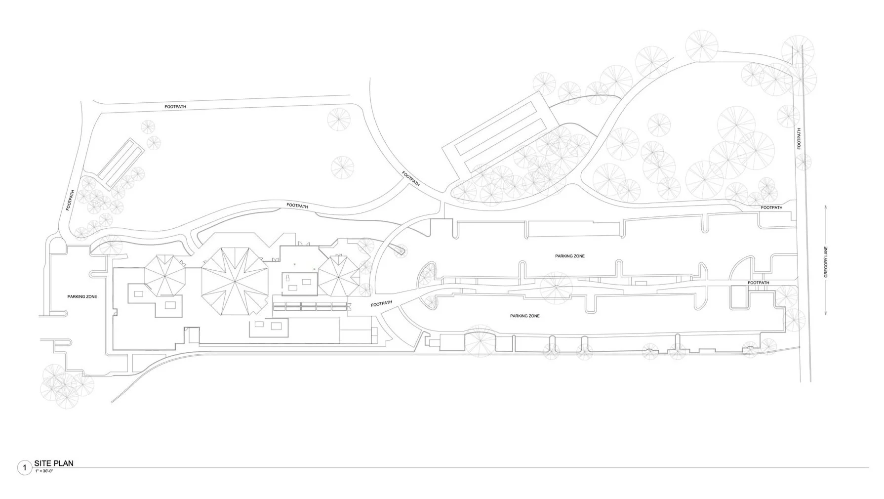
Site Documentation
ScanForce leverages LiDAR scanning to precisely map site elements, terrain, trees, walls, and structures, producing detailed topographic data and pinpointing key features. This clarity accelerates site planning and improves coordination with clients and permitting authorities. Our scans also capture surrounding buildings and vegetation, making it easy to evaluate view shafts, obstructions, and spatial constraints, supporting faster, smarter decisions in the early project stages.